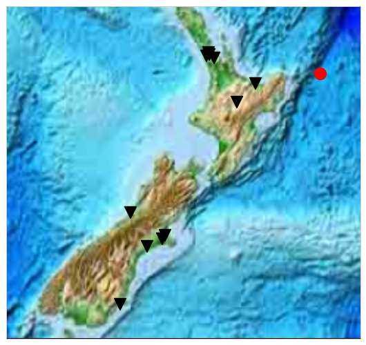
On November 16 2014, at 22:33:17 (UTC), an earthquake with magnitude 6.5 occurred some 155 km east of Te Araroa:
The stations of the Ru network recorded the resulting seismic waves, displayed in the figure below. The so-called “seismogram” for each station shows the propagation of the vibrations caused by the quake:
The horizontal position of each seismogram represents the distance from the epicentre to each station. The vertical time scale starts at the origin time of the earthquake.
For example, it takes roughly 180 seconds for the first seismic wave to get to station kkvc1 in Kaikoria Valley, some 1200 km from the epicentre. This means the average speed of this primary (or P-)wave is 6.7 km/s! Over this relatively short distances, you can almost draw a straight line through the onsets of energy on each seismogram, showing that the wave speed varies only by per cents in the subsurface under our network.
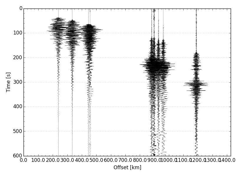
Also, notice how the seismograms change from station to station. For the close ones, the waves are bunched up in a relatively short time span, whereas for those stations with a greater epicentral distance, the “wave train” is longer. It turns out that in addition to the primary wave, there are other, slower, waves in this wave train. These include secondary (or S-)waves, and surface waves.
Finally, we should mention that the amplitudes of each seismogram are equalised to show the arrival times the clearest. In reality, the vibrations recorded closer the epicentre are much larger than those farther away.