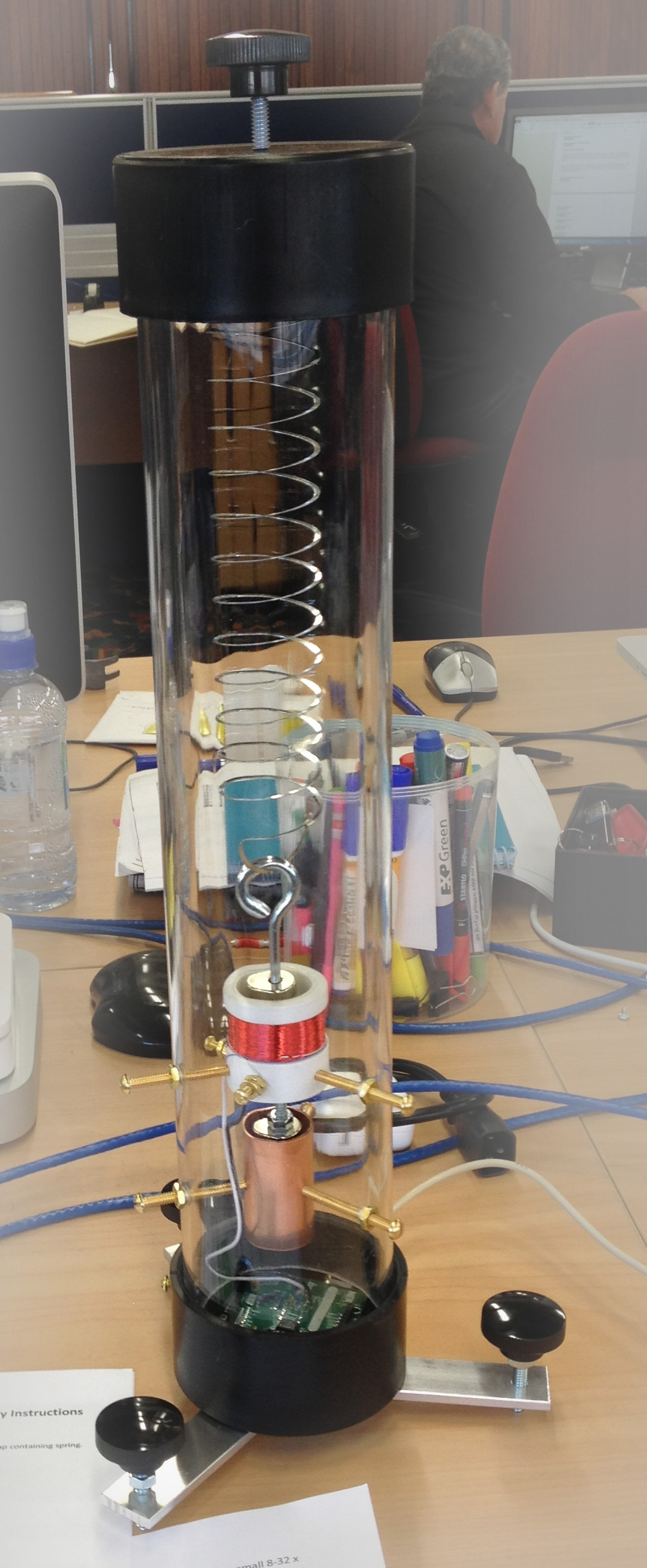
The TC-1

Location
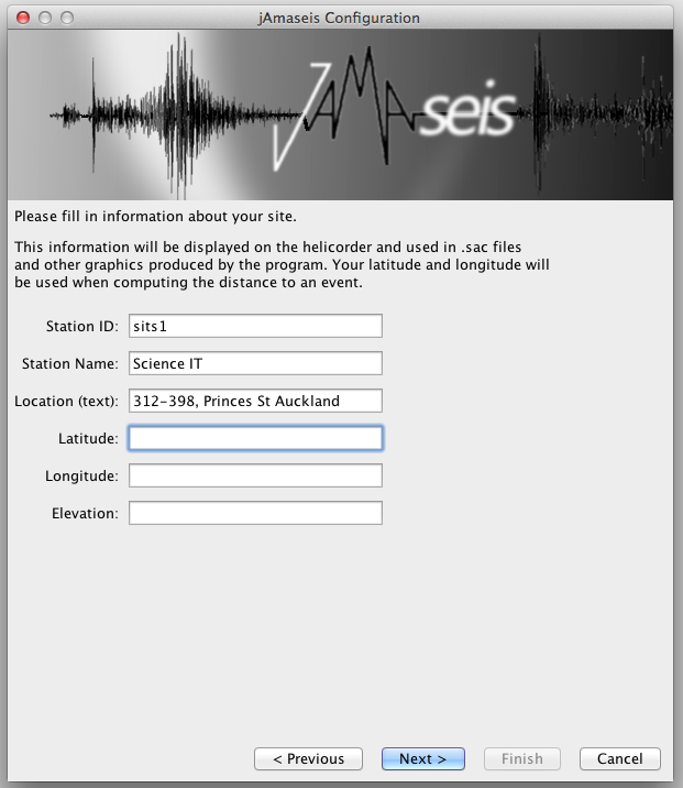
There are a couple of ways of getting good location information suitable for configuring jAmaseis. The software needs a longitude, latitude and altitude value. Where these are accurately known on a number of stations, it is easier to calculate good magnitude and depth values for events observed on multiple stations.
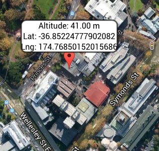
How accurate should it be? At the latitude of the example discussed in this article, each degree East or West is ~90km (at the equator, a degree is ~111km), so the 4 decimal places used below suggests an accuracy of ~0.010m for longitude. Latitude is similar.
iPhone (or similar)
Assuming you are close to or on the point where the TC-1 will be deployed, your GPS enabled phone/pad/computer can give you suitable coordinates.
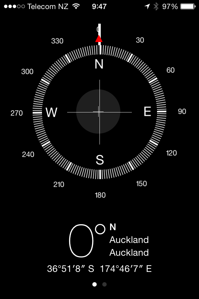
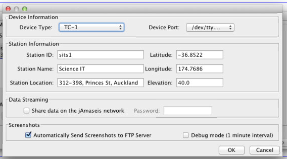
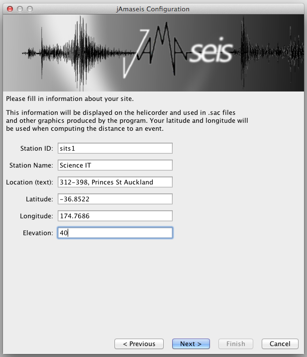
jAmaseis wants decimal values for longitude and latitude, so you need to do a bit of maths. Latitude is how far up (+) or down (-) you are on the arc joining the North pole (90ºN or 90º) to the South pole (90ºS or -90º) running though your location. In the example above, my latitude is 36º51’8”S (degrees, minutes, seconds South), which can be converted to
36 + 51/60 + 8/(60*60) x -1 ≈ -35.8522
(the -1 is due to the S)
Longitude is how far East (+) or West (-) around the Earth you are on a circle parallel to the equator (where all points on the circle share the same latitude) where 0 is the intersection of the arc running between the North and South poles intersecting the Royal Observatory at Greenwich. In the example above, my longitude is 174º46’7”E (degrees, minutes, seconds East), which can be converted to
174 + 46/60 + 7/(60 x 60) ≈ 174.7686
Google Maps
If you know here your seismometer is, then you can use Google maps. Centre the map above your target location and copy the longitude and latitude from address bar.
If your machine has the capability, Google Maps can use location services to centre the map.
Altitude
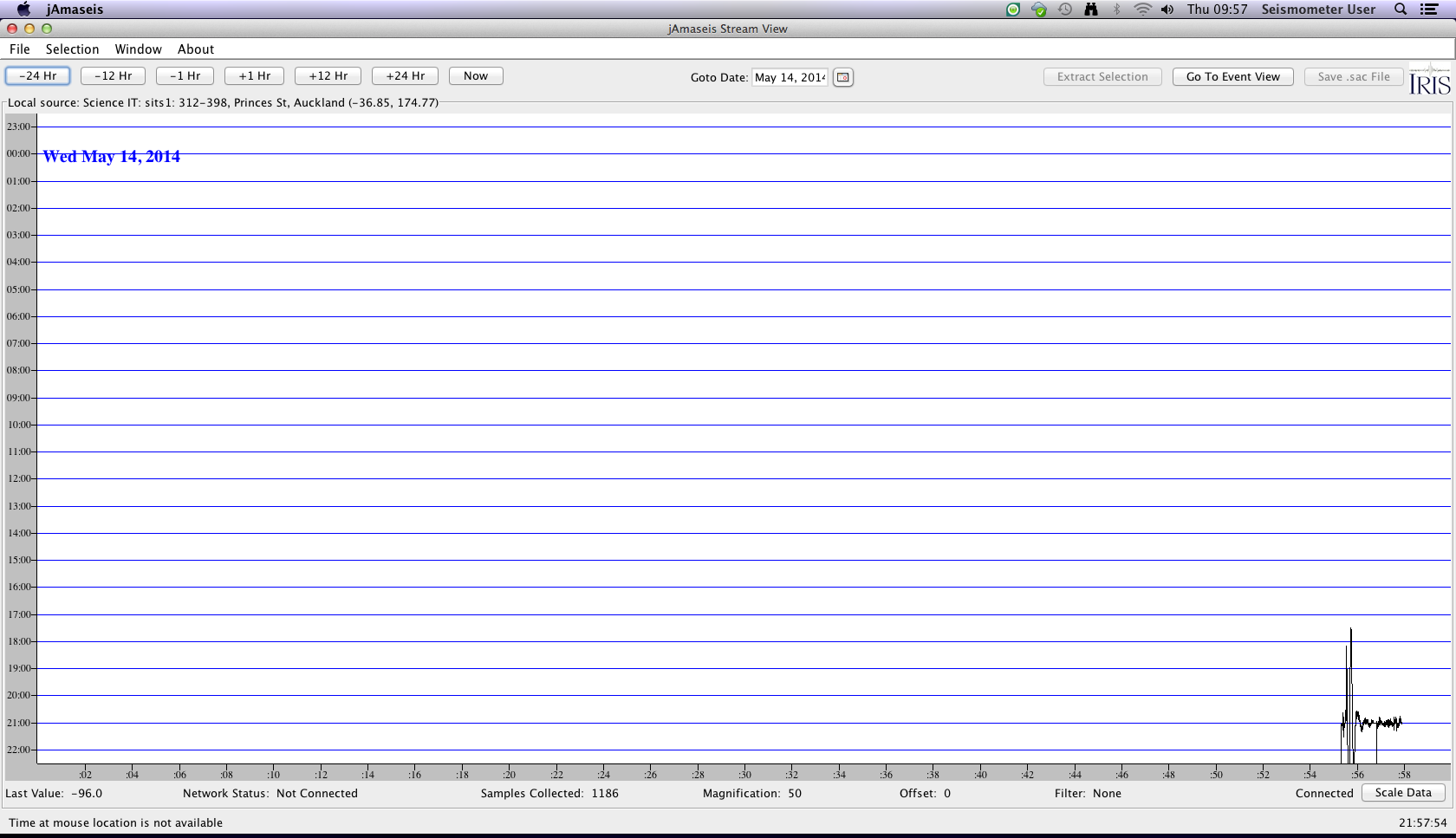
jAmaseis
When you plug your seismometer in, your computer may ask about a new network or communications device -ignore it (close it, whatever)
The port you use is important -if you change it, you may need to reconfigure the source (so jAmaseis can find it again). On the Macs we are deploying, we will typically use the USB port closest to the power socket. The TC-1 needs power, so it is best not to use one of the ports on a keyboard (if you have such a keyboard).
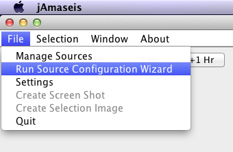
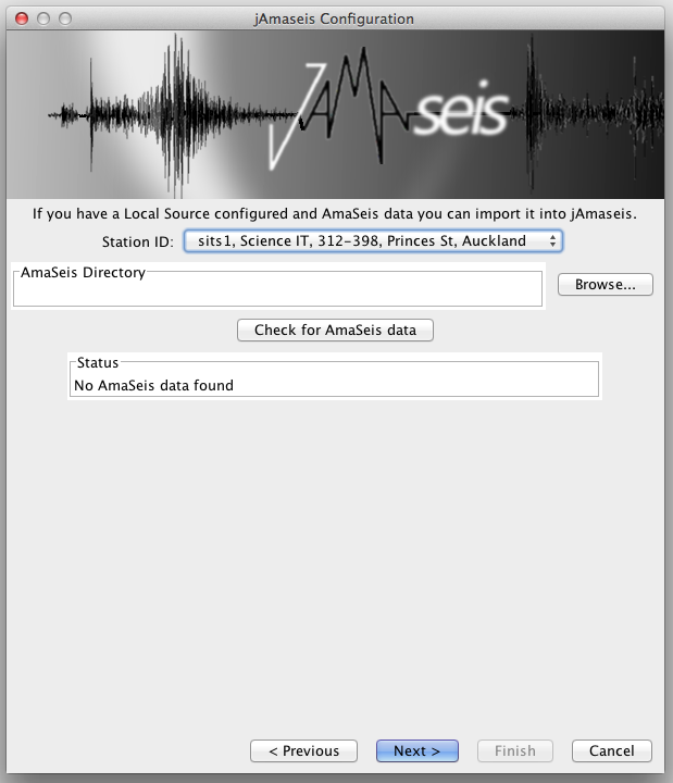
Assuming jAmaseis is already installed, you can run the Source configuration wizard from the File menu.


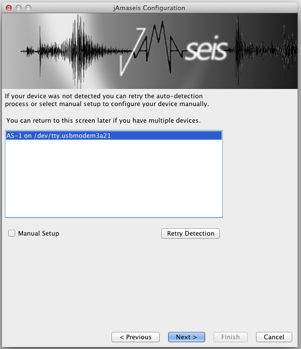
Sort out your location (see above)
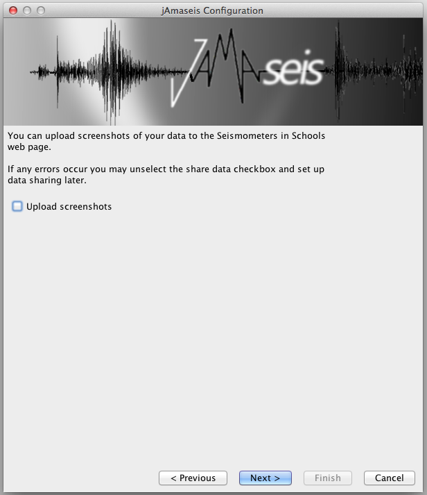


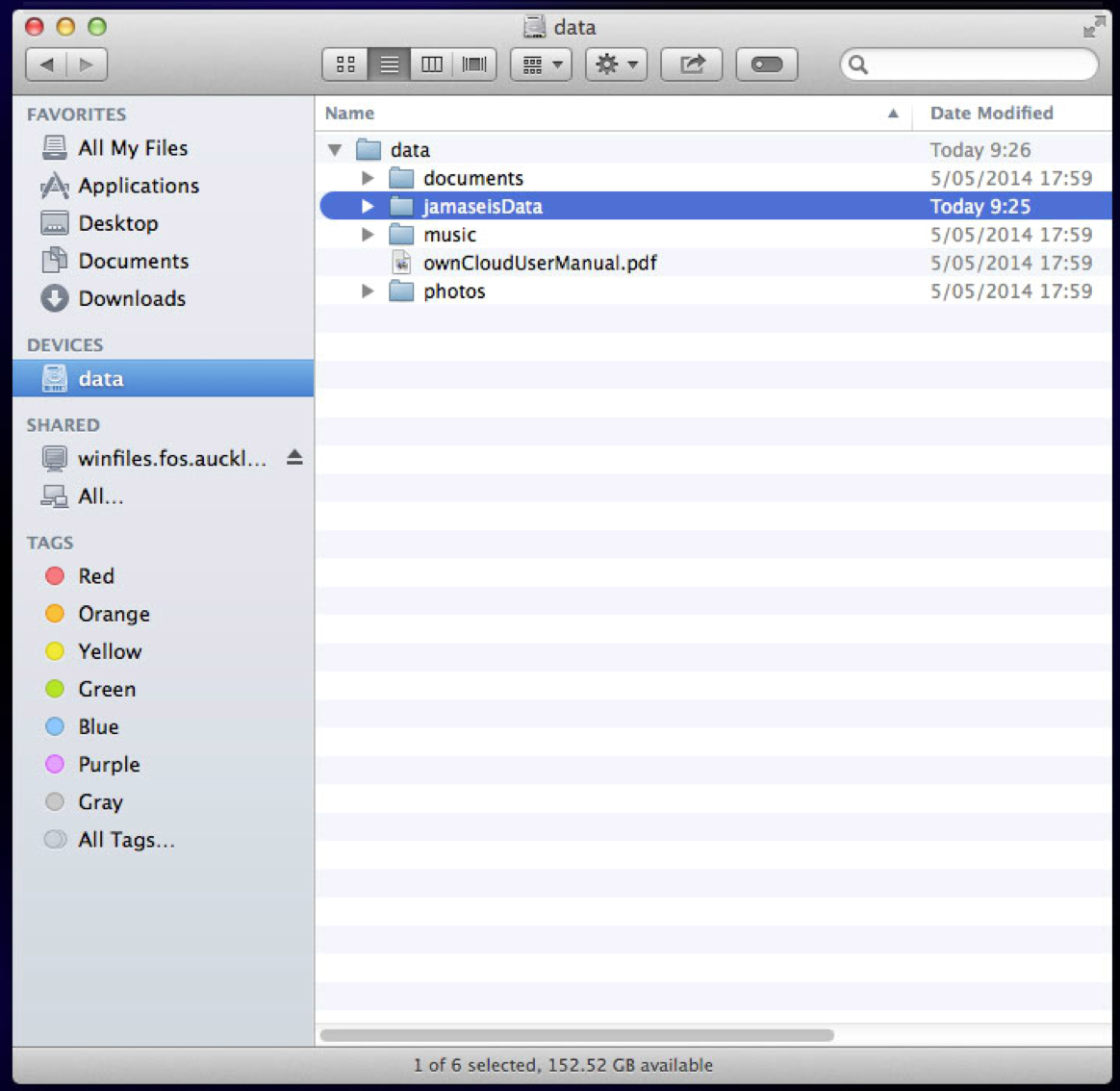
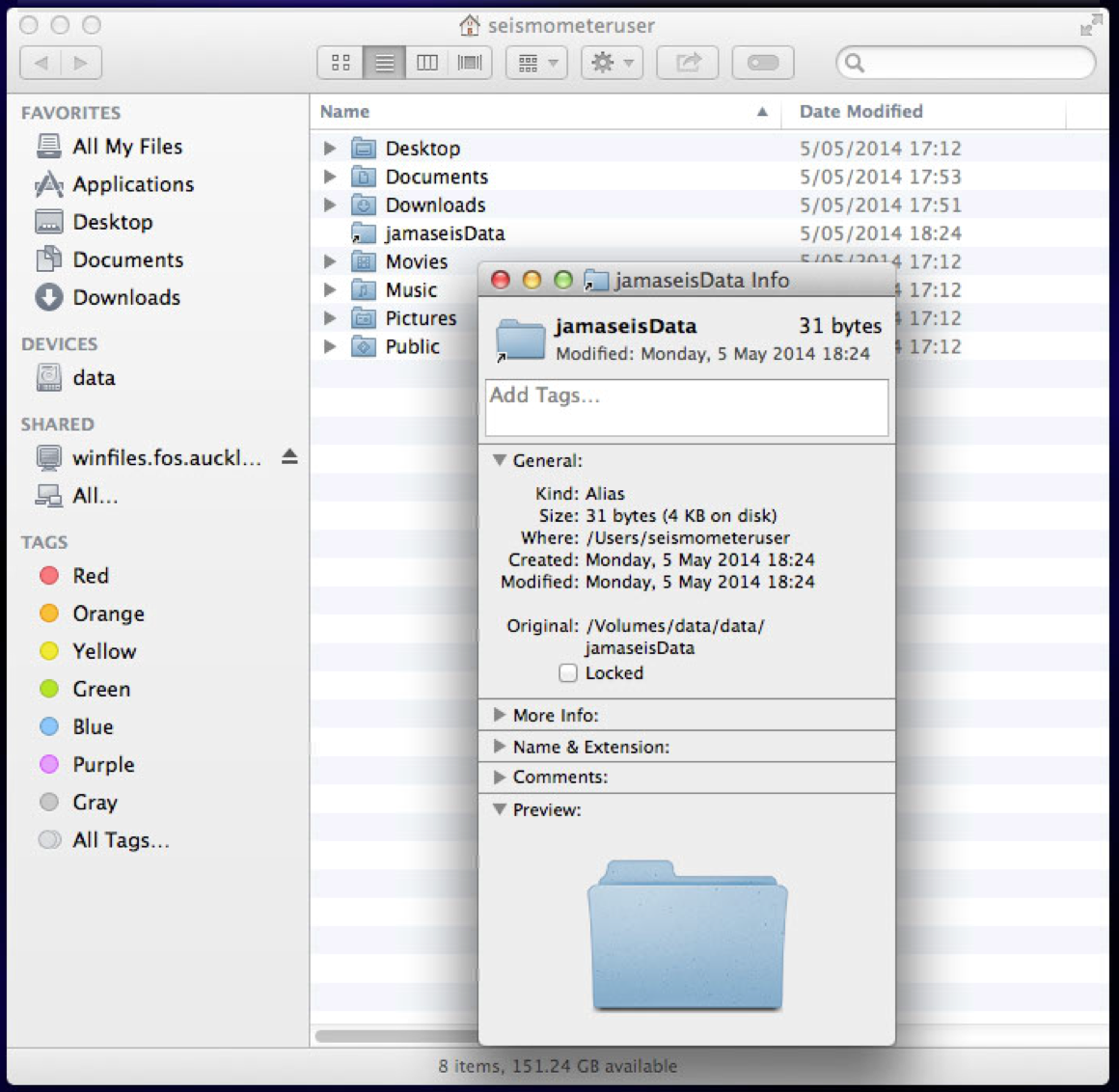
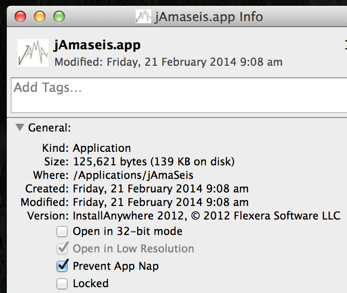
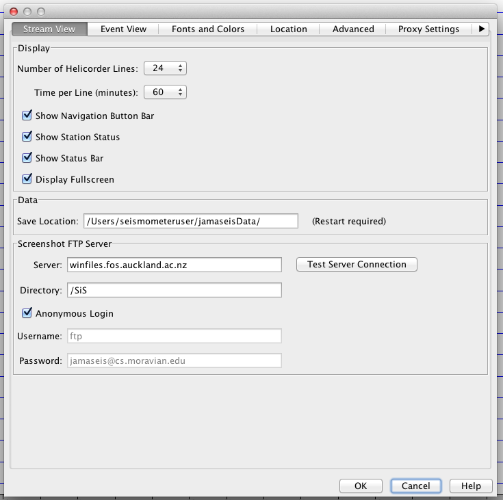
Screen shots
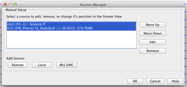
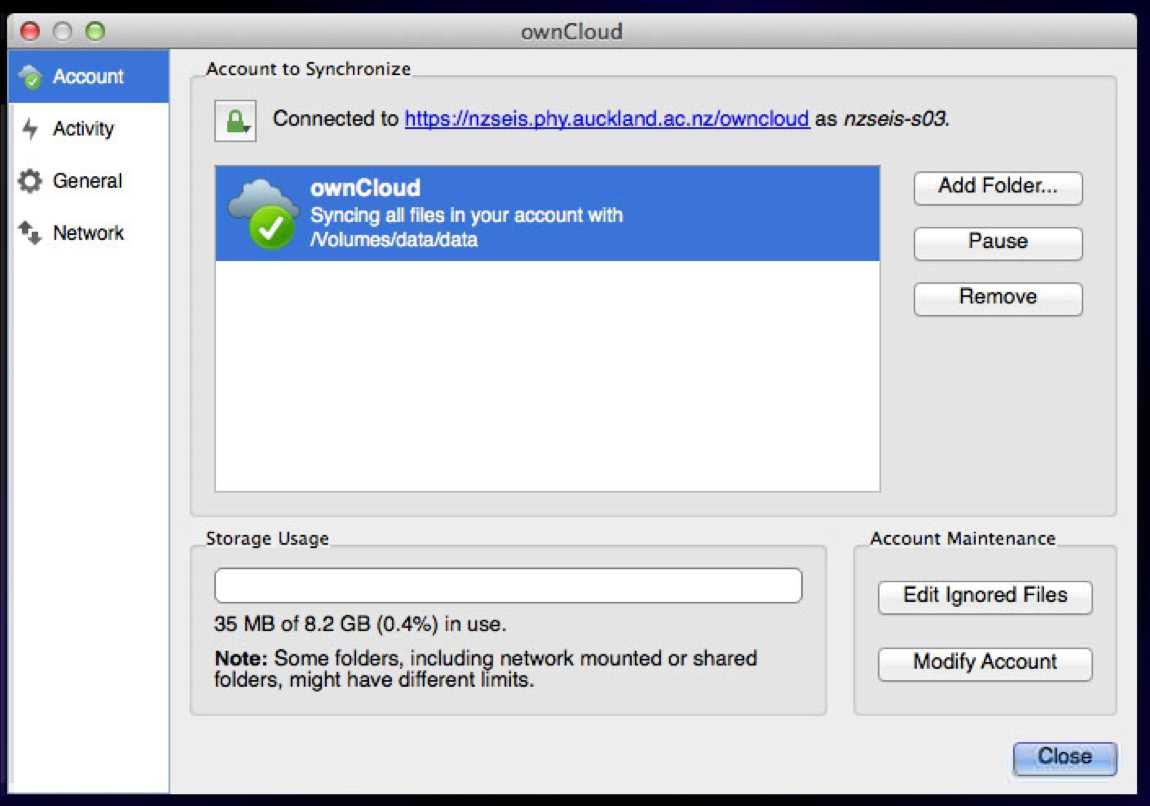
Let’s change the FTP target … The settings dialogue accessed through the file menu, offers places to configure this.
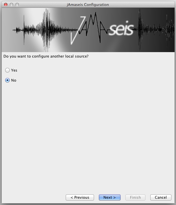
To switch upload back on, select Manage sources from the File menu.